
Thesis subject
Morphodynamics of the Gash river (Sudan)
Establish the morphological response of the river Gash to changing conditions in the catchment
Background and requirements
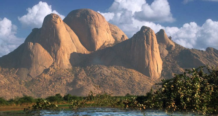
The Gash River is a torrential stream originates from the Eritrea/Ethiopian Plateau and ends up in a flat delta within the eastern part of Sudan. The length of the river is about 110 km from the border to the end at the Delta Die. The flow is seasonal, and occurs between June to October. It varies significantly between the years, from a minimum of 200 to a maximum of 1200 Mm 3/year. The river irrigates the large Gash delta, in which the Gash Irrigation Scheme (120,000 feddans), which was constructed at the beginning of the 20th century. The Gash is also the main supply of water for the Kassala Town. The Gash River carries large amount of sediment, predominantly suspended load. It is estimated that, the sediment load is between 5.5 to 13 million m3 per year. As such, sediment management has been the main challenge for the O&M of the Gash Agricultural Scheme. Excessive sedimentation in front of intake canals prevents irrigation supplies into the scheme. The gradual built of sediment has raised the river bed by more than 2 m compared to the surrounding land of Kassala town. This further exacerbates the risk of damaging floods by the river. e.g., the flood of 2006, claimed to have been devastating, and caused a multi-million loss of property in the Gash area. Excessive river protection work of spurs and dykes have not solved the problem.
Research objectives
The main goal of this research is to understand the dynamic nature of the Gash morphology, to be able to propose optimal river training structures.
Counterpart
The thesis subject will be performed in collaboration with the Hydraulic Research Station in Sudan
Method
The core methodology of this study will be around morphodynamic modeling. A rivermorphodynamic model will be built to simulate the existing situation in Gash River. Next different river training work (e.g., different spur deigns) could be tested by the model to identify optimal river training set up. Secondary data of river cross sections, river flow, and sediment load can be collected from the Gash River Training Unit. The Spate Research Project already has collected good amount of data.
Output
The researcher should come up with MSc. Thesis, and possibly a journal article out of the thesis.
Funding
It is possible to provide support for field data collection from the ongoing Gash spate irrigationproject, Sudan, for a period of 2-3 weeks (air ticket, accommodation, field cost, etc.)