
News
Student teams develop innovative UAV applications
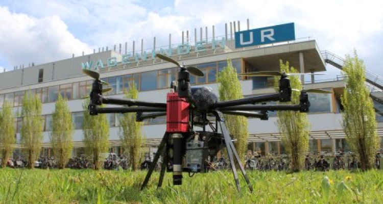
Three student project teams of Wageningen University have developed innovative applications for environmental monitoring using Unmanned Aerial Vehicles (UAV). They executed the assignment for real-life commissioners as part of their MSc Geo-information Science and Remote Sensing.
Below a description of the three projects is given and main results are summarized. A link to a document with a poster is provided for more background.
Application 1: UAV Remote Sensing for the Extrapolation of Ground Based Evapotranspiration Measurements
Project team: Rob Maas, Froede Vrolijk, Erik van Schaik and Konstantinos Bampanikos
To assess the representativeness of vegetation between the lysimeter and the surrounding heathland nature area, RGB and hyperspectral UAV imagery was used to derive vegetation height and Leaf Area Index (LAI) datasets. The soil moisture error was assessed using thermal UAV imagery. A three temperature model (3T model) was applied to estimate the instantaneous latent heat flux (LEi) of both the lysimeter and the surrounding areas, to assess whether there is a significant difference between the lysimeter and the surroundings. A vegetation map with three classes (heather, grass and bare soil) was constructed and used for emissivity corrections of the thermal imagery.

Application 2: The potential use of UAVs in a Desert Locust early warning system for preventive control
Project team: Niek Fischer, Roeland de Koning, Bongani Ngwenyama, Lieven Slenders, Laura Wools
The UN-FAO requires a robust and easy to implement approach to integrate local environmental information in the Desert Locust Early Warning System (DLEWS). It is from this background that the FAO has commissioned this investigation into the potential use of Unmanned Aerial Vehicles (UAVs) in the current early warning system. In this study we investigated the use of hyperspectral camera to measure the spectral signature of juvenile nymphs and adult Desert Locusts using different set-ups. We further used data that was collected to demonstrate the capability of UAVs to detect small patches of sparse vegetation that can harbour Desert Locust breeding grounds. Integration of the use of UAVs in the current system was also investigated. Results from this study showed that it is feasible to use hyperspectral sensing to identify small patches of locust habitat and detect the presence of locusts. Spectral signatures of the nymphs and adults were recorded using a hyperspectral camera. The results consistently showed that the juvenile nymphs reflect more than the adult locust. Two spectral regions, from 613nm to 700nm and from 744nm to 900nm, were identified as significant for differentiating locusts from vegetation. In this report we have shown that it is feasible to automate the analysis of hyperspectral data and integrate the results in the current early warning system. The use of UAVs offers unlimited possibilities to improve the DLEWS. We recommend further investigation on the spectral signature of locusts be conducted extending the spectral range beyond 900nm. From this study there is the potential to develop a locust detection index. This study shows promising results, therefore, it is recommended to set up a pilot project to test the use of the UAVs and their integration into the current early warning system.


Application 3: Innovative monitoring of water quality for urban water systems and moorland pools
Project team: Robbert Hoeboer, Maarten van Doornik, Darell van der Voort, Lazaros Spaias, Andronikos Gyrichidis
The purpose of this project was to explore the possibilities to monitor water quality parameters using Remote Sensing (RS). These parameters are Chlorophyll-a, Total Suspended Matter (TSM), Temperature, Turbidity and Secchi depth, absorption coefficient of Coloured Dissolved Organic Matter (aCDOM) and finally surface area covered by vegetation. The water bodies that we have been focusing on are inland, urban or natural, fresh water bodies. In our research we explored a selected number of RS methods and instruments that can be used for the aforementioned scope. Furthermore, we constructed an inventory table consisting of the relevant information of each RS instrument. In order to be concrete for our final recommendations, we performed field measurements, such as an Unmanned Aerial Vehicle (UAV) flight with hyperspectral and thermal camera, took samples from satellite imagery (SPOT6) and measurements with a ground RS instrument (WISP-3) in order to compare the results of the proposed methods. As a final point we have defined the arguments for and against those methods having as objective their accuracy, costs and feasibility. What we can conclude from our feasibility study, is that for now within the scope of this research, RS techniques other than WISP-3 are not really efficient for monitoring the above mentioned water quality parameters. This is due to their spatial resolution, the cloud cover in The Netherlands, and the extended effort needed to make a usable product. However, we believe that in the next years with the technological developments (more suitable cameras and algorithms for use on water surfaces) and the change of the regulations, the use of UAVs in combination with ground measurements will be of great added value for monitoring small water bodies.

