
Alumnus testimonial
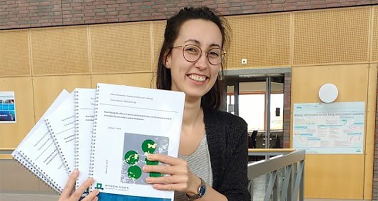
Alumna Louise Prins - Geo-Information Science
During studying for my bachelor degree in Human Geography at Utrecht University I did my first GIS courses and I discovered how much I liked it, both solving the analytical puzzles with data and presenting it by creating understandable and appealing maps. Hence, I looked for a master program in which I could keep developing my spatial data analysis skills. Most of my fellow human geography students with a GIS interest went for the GIMA master. However, I decided to go for MGI because I wanted more contact hours and I expected MGI to be a bit more technical, with more programming and remote sensing. My interest in environmental and climate issues also seemed to be a good fit with the WUR.
I decided to go for a traineeship in which I had the opportunity to both explore different organizations, topics and activities and keep developing technically but also in personal skills
Studies
The WUR and especially the people of the GRS chair gave me the feeling of a warm welcome. I started with the mandatory course ‘Geo-information Science’ in Context, which was a rather broad course with enthusiastic teachers and all the master students of my year, so that helped to get to know them right at the start of the program and be aware of all the different backgrounds present. Next to the GIS-courses I attended (which partly overlapped with my prior knowledge, but also gave new insides) I followed the available programming and remote sensing courses and spatial modelling and statistics in the first year and I enjoyed all of them. The best part of the first year was the RS and GIS Integration course with the fieldwork in Groenlo where we were on a hunt for boundary marks and the ACT where we looked for different sources for European land use classification and made a data quality assessment framework. I was part of an awesome team, we had a great collaboration and also a lot of fun! Beforehand I expected to stick to the GIS direction, but I eventually decided to do my thesis in remote sensing, in which I also kept developing my scripting and research skills.
After my thesis, I went straight on for my internship, which I conducted at the GIS&ICT department of Sweco in De Bilt. I learned a lot about GIS and ICT in a business environment and worked on a GIS dashboard concerning climate adaptation for municipalities.
Career
For my job I wanted to do something that matters and making the world (or our country, start small) a bit better, in which I could work on interesting spatial data analyses. Besides, although I learned a lot during MGI, I felt like there is so much I didn’t know yet and I wasn’t sure exactly what field I wanted to work in. That’s why I decided to go for a traineeship in which I had the opportunity to both explore different organizations, topics and activities and keep developing technically but also in personal skills. In the ‘data track’ of the ‘Rijks I-Traineeship’ – an IT traineeship at the Dutch national government – I have had the opportunity to work in three governmental organizations for eight months each. Besides we had an education day every two weeks, on topics such as personal development, (IT within) the Dutch government and data science.
The three positions I had during the traineeship were highly diverse. I worked for policymakers on the field of manure at the ministry of Agriculture, Nature and Food Quality, at a GIS-ICT team of the Dutch police and in the data science team of the Netherlands Labour Authority (Arbeidsinspectie/Inspectie SZW). I worked on multiple projects in different roles. While most of my time was spent on data analytics and data science, I also gained experience in for example business analytics and being a scrum master. I worked on spatial analysis, but also learned other techniques such as text mining and network analysis. Although working from home for most of the time due to Covid, I got to get to know a lot of people and organizations and got a feeling in what position and team I fit best. It was also nice to be part of a group of trainees with whom you attend the education days and have drinks and other fun activities. By sharing experiences you can learn more about other organizations and teams within the government and it results in a great network throughout the government at the start of your career.
Next September I will start a permanent job as data scientist at the Netherlands Enterprise Agency (Rijksdienst voor ondernemend Nederland (RVO)). Here I expect to work on both spatial and non-spatial data projects, to support Dutch enterprises to become more sustainable, international and innovative. RVO is also responsible for multiple subsidies, for example in the agricultural field or electric driving. In the process of granting, data analysis and models can help to make the process more transparent and less time-consuming.
Looking back, I think going for MGI was the right decision for me. It was a great experience and I expect to keep on building on what I learned in those two years. I’m looking forward to keep working on all kinds of spatial data science projects.