
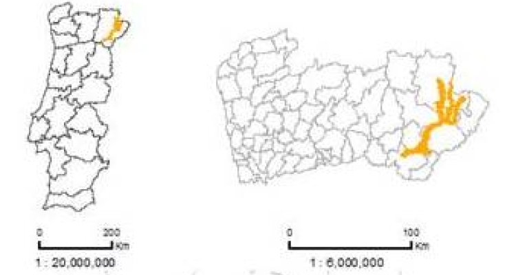
Rios Sabor e Maçãs
“Rios Sabor e Maçãs” is included in a Mediterranean valley system located in the Northeast of Portugal. This site has been designated both as an SCI (PTCON0021; surface area: 33482 ha) and an SPA (PTZPE0037; 50687 ha), with partially overlapping areas.
The area is characterized by highly seasonal and dry climatic conditions, with low annual values of precipitation (400-800 mm), and predominant shallow soils (leptosols). Furthermore, the landscape features are dominated by the vigorous physiography of the valleys, and the spatial variability of environmental conditions and processes contribute to the existence of relevant local ecological values.

The study area hosts populations of more than 40 species listed in the Annexes of the Habitat and Bird Directives. Several forest types representing Annex I habitats are common on slopes (9330, 9340 and 9560*) and along river margins (91B0, 91E0* and 92A0). In rocky margins of the main rivers, the relict habitat 5110 occurs in mosaic with saxicolous grasslands (6160). In the courses and flood margins of temporary rivulets, wet grasslands (3280, 3290) and tall herb formations (6420) form dense mosaics. Most of the area is dominated by open scrublands (5210, 5330) in mosaic with annual and perennial dry grasslands of habitat 6220*. In steep slopes and vertical stone walls, saxicolous formations are common (8220). In the highest elevations, oak forests (9230), old chestnut groves (9260) and heaths (4030) can be found.
Recent changes in the landscape result from the partial abandonment of agriculture and of extensive husbandry, and afforestation with both native species (conversion of agricultural land) and exotic species (intensive forestry), and are related to demographic decline, private land owners’ absence, and increasing activities such as hunting and fishing. Currently, a large hydroelectric dam is being constructed at the downriver end of the site, so profound transformations will occur in the main valley and habitats and species will be severely affected by flooding.
Main data available for the site:
- Landsat TM and ETM+
- Habitats map (2005)
- Land cover maps (COS90, COS00; COS06)
- Species records
- Moderate resolution long term time series (MODIS)
Several thematic ancillary datasets are also available for the site, namely climate, hydrography, geology, soils, socioeconomic and demographic data, agrarian censuses (farm structural survey data), forest surveys (national inventory), wildfires, and road network.